Collaborating Organizations
Unsurveyed areas in the recently expanded Johnston Atoll Unit were mapped to identify the features within its boundaries, and document high density biological communities and physical resources such as polymetallic crusts and nodules.
After transiting to one of the most remote parts of the world, Falkor began sending out sonar pings, creating detailed bathymetry maps of the Johnston Atoll Unit (JAU). Located in the Pacific Remote Islands Marine National Monument approximately 700 nautical miles southwest of the Hawaiian Islands, the JAU is of both biological and geological interest to researchers. Over 11,000 square kilometers of the ocean floor were mapped in high-resolution during this expedition.
During Falkor’s repositioning from the island of Guam to Honolulu, a research team led by Principal Investigator John R. Smith from the University of Hawai’i, visited the recently expanded boundaries of the U.S. marine protected area, allowing them to map a region nearly the size of the U.S. state of Connecticut. Unsurveyed areas in the JAU were mapped to identify the features within its boundaries, and document sites that may harbor high-density biological communities and resources such as polymetallic crusts and nodules.
The purpose of these detailed seafloor maps is to help future expeditions characterize the living and non-living resources in this newly protected regions. “This is the first step toward more focused follow-on studies with manned and robotic submersibles,” said Dr. Smith.

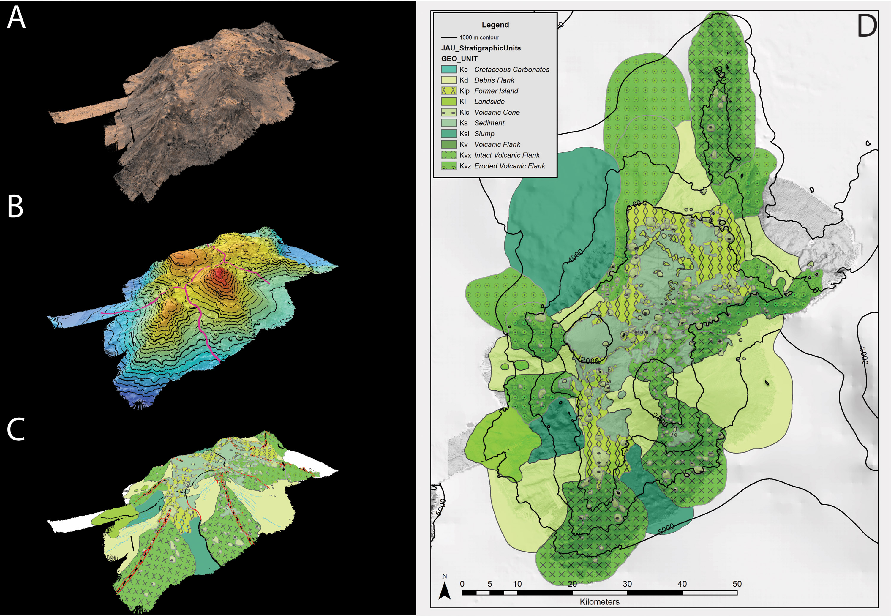
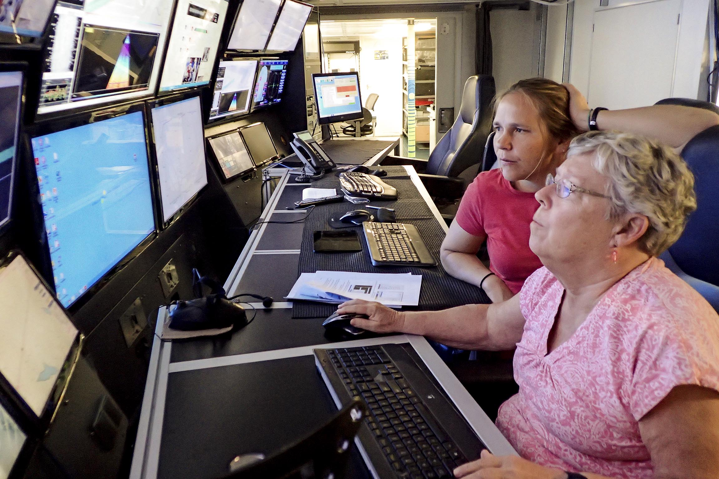
Using Falkor’s onboard multi-beam echosounder processing software, the team was able to compile days of mapping data in real time, unveiling captivating features of the ocean floor, including six previously unmapped seamounts in the southwest corner of the Johnston Atoll Unit. The maps yield valuable insight into the geologic composition of the seamounts. For example, analysis of one of the features, with the proposed name “Edmondson Seamount,” demonstrates that it is composed of four distinct and adjacent volcanoes that have continued remodeling in the form of volcanic eruptions, including catastrophic landsliding, and other erosional processes, to coalesce into one large, subsurface mountain.
Significant efforts were made to share the mapping through a unique group of education professionals accompanying the researchers on their expedition. This included 11th Hour Racing Ambassadors Brock Callen Sr. and Brock Callen Jr., tall ship cartoonist and Artist-at-Sea participant Lucy Bellwood, and Hawai’i-based science teacher Jena Kline who developed multibeam mapping lesson plans for high school classrooms using the collected data.


