This research cruise was remarkable in that the studies used the very latest technology in pioneering ways to discover evidence of past sea level change in Hawai`i and around the Pacific.
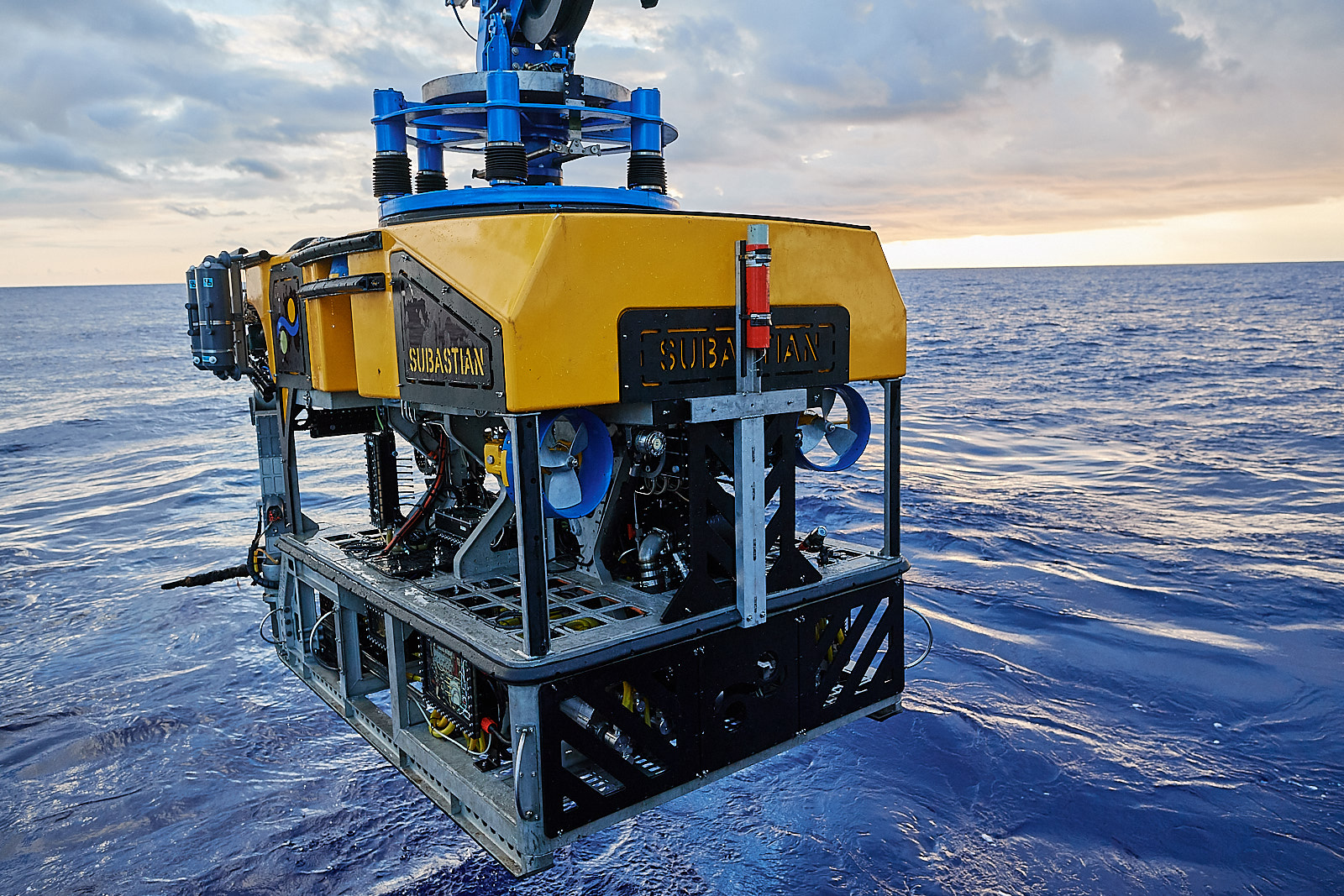
The “Sea Level Secrets” expedition used both autonomous underwater vehicle (AUV) and remotely operated vehicle (ROV) technology to locate and sample ice age coral geological records, gathering data to refine predictions of future sea level rise.
Dr. Ken Rubin, University of Hawai’i, led this two-legged expedition along the central Hawaiian Islands and Line Islands, aimed at discovering and collecting evidence of past sea level change in the South Pacific. AUV REMUS 600, a specialized vehicle operated by Woods Hole Oceanographic Institution and supported by SOI, served as a robotic sonar mapping platform during the first leg of the expedition, providing information that allowed SOI’s ROV SuBastian to be launched for geological mapping and sampling on the second leg.

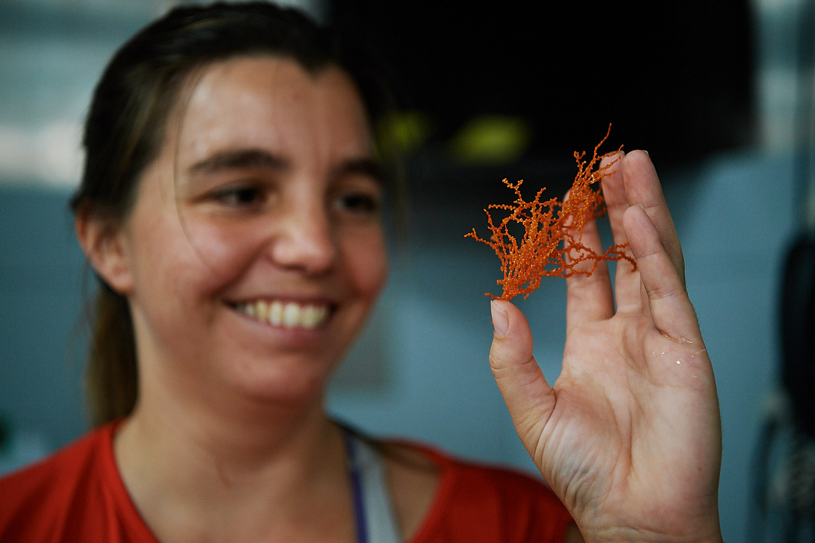
By using both forms of robotics, the research team was able to collect sonar data, visual documentation, and nearly 184 fossil coral specimens from Penguin Bank, resulting in the first whole-reef reconstruction of an ice age coral reef and using it as an archive of sea level change.
The next step in this project will use artificial intelligence to combine the ultra-high resolution sonar maps with the imagery collected, resulting in a detailed terrain map of the Penguin Bank reef complex and the types of corals that grew there during periods of faster and slower sea level change.
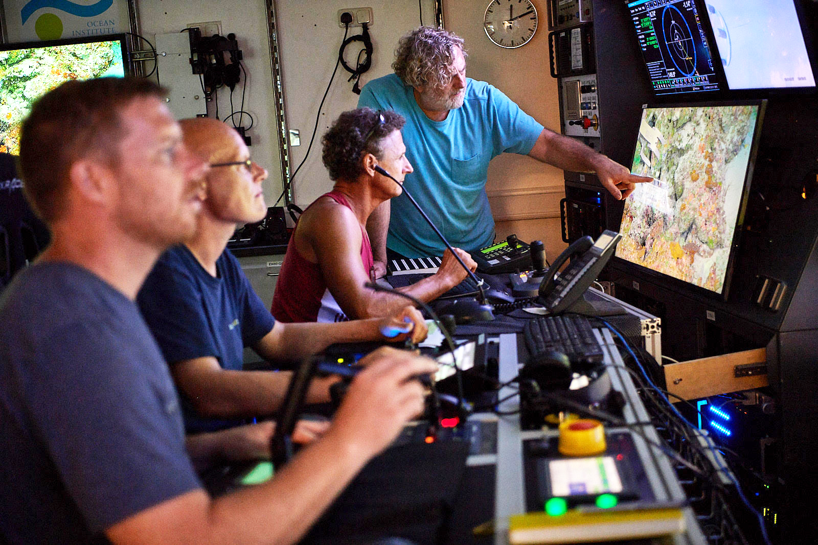
The discovery of drowned ice age coral reefs at Palmyra Atoll and Kingman Reef made it possible to collect samples of ancient fossilized coral skeletons that lived 10,000 to 20,000 years ago. These samples are ideal for answering questions of when sea levels changed in the past and how rapidly, especially since they are from an area that is not directly impacted by significant land ice or coastal continental processes. The depth of these drowned reefs also posed a technical challenge for SOI’s ROV pilots aboard Falkor, who had to adapt to the challenges of shallow water operations, becoming the first team to dive at 100 to 200 meters depth on these reefs. Another important achievement on the cruise involved the implementation of the SOI funded Squidle+ software. This software is being developed expressly to be applied with ROV SuBastian and R/V Falkor, and is a tool that enables the science team to annotate visual observation records in real-time and in-situ conditions. The software combines all annotations from a dive (and ultimately the cruise), compiling them into a single repository for the scientists to utilize later during analysis of all the data. Adding more power to the software will give the ability for annotations to be made at any time, by anyone both on the ship and from shore.
Sea level rise is a very complex process with many factors, including a variable rate of rise and change that differs by geographic location. The data gathered on this expedition will help us understand sea level rise from the past, which should help us better predict and prepare for the future.
“Global sea level change is a geographically complex and highly dynamic process that will impact a large fraction of Earth’s population in the coming century” – Dr. Ken Rubin


